GPS 시스템과 enu, utm, ecef 등 여러 좌표계 시스템
28 Dec 2021 | 통신
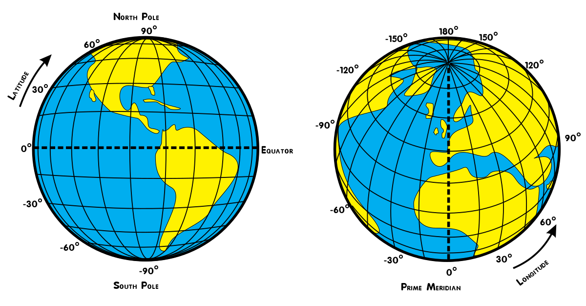
GPS는 위성으로 부터 위도(Latitude)와 경도(Longitude)와 고도(altitude)의 정보를 받게 된다.
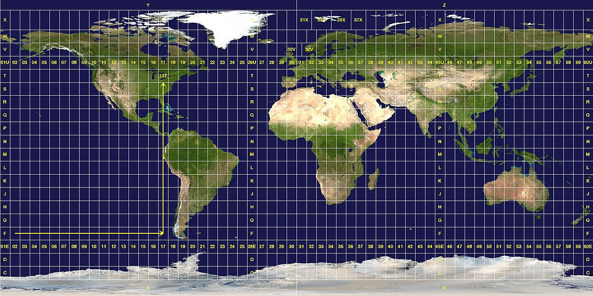
지구가 둥글기 떄문에, 이를 우리가 볼 수 있는 지도(맵)으로 쉽게 표현하고자 UTM(Universal Transverse Mercator Coordinate System)으로 변환을 하여서, 맵상에 어디있는지 표현을 할 수 있다.(많은 어플리케이션이 이것을 사용함)
또한 특정 영역(Local Coordinate)를 기준으로 Targent Space로 Localization이 표현이 가능한데(ENU : East, north, up), map에 대한 초기값을 잡고 gps데이터로 부터 로컬에 대한 맵핑이 가능합니다.
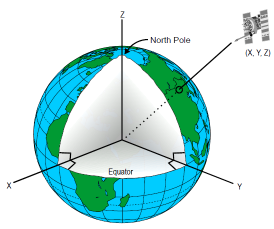
지구중심지구고정 좌표계(ECEF, earth-centered earth-fixed frame)는 지구의 중심에 원점이 위치하며 지구에 고정되어 있어서 지구와 함께 자전하는 좌표계이다.
Since the entire ECEF reference frame rotates with the earth, this coordinate system is useful for positioning geo-stationary objects such as satellites. In fact, the Global Positioning System (GPS) uses ECEF as it’s primary coordinate system and derives all other coordinates from it
지구 중심 좌표로, 위치에 대한 정보 xyz를 구할 수 있다.


Comments